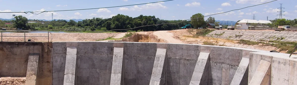
Aberdeen sits at 57.1482° N, built directly on the scarred edge of the Cairngorm glacial outwash. That means your excavation is cutting through dense lodgement till, pockets of running sand, and weathered pink granite. We have been on enough Granite City sites to know the ground doesn't read the borehole log. Real-time monitoring catches the shift before it becomes a collapse. Our team deploys inclinometers, piezometers, and total station arrays calibrated to the specific stiffness contrasts you find from Union Street down to the harbour. For deeper works through the Aberdeen till, we link this data to a deep excavation analysis to back-calculate wall deflection against the BS EN 1997-1:2004 design envelope, ensuring the temporary works stay within the DA1-C2 safety case without over-engineering the props.
In Aberdeen's glacial till, the difference between a stable cut and a running failure is 15 millimetres of lateral movement at the toe.
Our approach and scope
Site-specific factors
The ground between King Street and the River Don is not the same as the ground up at Hazlehead. The former hides lenses of saturated sand within the till; the latter sits on a stiff, stony matrix that breaks like a biscuit. Ignoring these micro-geologies gets you a sudden loss of face. The cost is not just the repair; it is the shutdown notice from the HSE. We have seen a 6-metre trench in the city centre lose its shoring because the piezometer data was reviewed 24 hours late. The tide had pushed the groundwater up overnight. The pressure spiked. The wall kicked. That delay cost the contractor a full week. Our system pushes a text the moment the vector exceeds 10 millimetres. That is the difference between a controlled backfill and a catastrophic collapse.
Regulatory framework
BS EN 1997-1:2004, CIRIA C760: Guidance on Embedded Retaining Walls, BS 5930:2015+A1:2020
Complementary services
Deep Excavation Monitoring Package
Inclinometers on soldier piles, vibrating wire piezometers at 1-metre intervals behind the cut, and automated total station tracking of the crest. Designed for basement digs in the Merchant Quarter.
Remote Alarm System
Battery-backed IoT gateways with 5-minute data push. Amber alert at 80% of design movement; red alert at 95%. Direct to the site manager's phone. No software logins required.
Trigger Review and Contingency Planning
We pre-set the green-amber-red limits against your CIRIA C760 observational method plan. When the trigger is hit, we are on site within the hour to confirm the reading and recommend the contingency.
Typical parameters
Common questions
How much does geotechnical excavation monitoring cost in Aberdeen?
For a typical 3-month basement dig with 4 inclinometers and 3 piezometers, the cost runs from £730 to £1,700 per month. The spread depends on whether you need automated total stations or manual readings, and the depth of the casing into sound bedrock.
What is the minimum monitoring frequency for a temporary excavation?
Under BS EN 1997-1, the frequency is risk-based. For a 4-metre cut in Aberdeen till next to a highway, we start with twice-daily manual readings on the inclinometers and hourly on the piezo transducers. Automated systems sample every 5 minutes and push the average every hour.
Can you monitor existing movement on a failing excavation?
Yes. We mobilise a rapid response kit within 4 hours in the Aberdeen area. We drill through the road box, install the casing, and get a baseline reading. The initial report goes to the Temporary Works Coordinator the same evening with a clear go/no-go for the next shift.
How do you calibrate for Aberdeen's tidal groundwater?
The reference range for this service in Aberdeen is £730 - £1.700. The final price depends on the project scope and volume.