Last year we reviewed a cut slope behind a housing development near the River Dee where a section of the bank had started to creep after a wet winter. In Aberdeen, the combination of residual granitic soils, glacial till, and weathered rock creates slope conditions that change from one site to the next. We use slope stability analysis to quantify the factor of safety and identify the failure mechanism before a problem escalates. The site investigation typically starts with a dynamic probing or SPT borehole to characterise the upper strata, then moves into limit equilibrium modelling using parameters from lab testing. For projects near the harbour or along the old railway cuttings, the analysis has to account for groundwater fluctuation and the history of cut-and-fill across the city's terraced topography.
A slope in Aberdeen that stands at 60 degrees today may not stand at 55 degrees after three winters of freeze-thaw action.
Our approach and scope
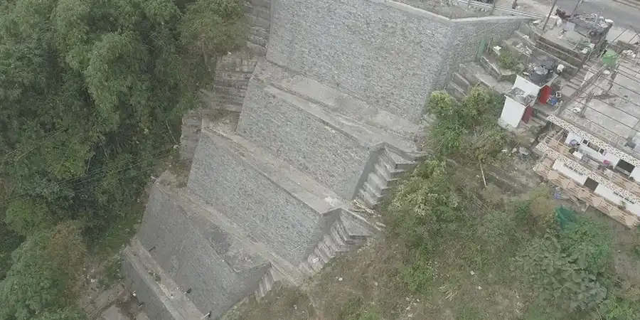
Site-specific factors
Aberdeen's population of approximately 228,000 occupies a landscape shaped by the Dee and Don river valleys, where natural slopes have been modified by centuries of quarrying and construction. The city experiences low to moderate seismicity, with a design ground acceleration of 0.02 to 0.04 g for a 475-year return period according to the BGS seismic hazard map. Even that modest shaking can reduce the factor of safety of a marginally stable slope below 1.0. The bigger driver is water. A burst water main or a blocked culvert during a heavy rainfall event can raise pore pressures enough to trigger a shallow landslide. In the Rosemount and Torry areas, where Victorian retaining walls backfill steep gardens, a slope failure can affect multiple properties in a single event. The consequence of ignoring a stability assessment ranges from loss of garden land to structural damage on adjacent buildings.
Service video
Regulatory framework
BS EN 1997-1:2004 - Eurocode 7: Geotechnical design, BS 5930:2015 - Code of practice for ground investigations, BS 8002:2015 - Code of practice for earth retaining structures, BS EN ISO 17892 series - Laboratory testing for shear strength
Complementary services
Limit equilibrium and finite element slope modelling
We build 2D models in Slide and GeoStudio, calibrate soil strength parameters from lab tests, and run parametric analyses for varying groundwater and seismic conditions.
Slope remediation and drainage design
We design soil nailing, rock bolts, regrading, and subsurface drainage systems to raise the factor of safety and control pore pressure behind the slope face.
Typical parameters
Common questions
What does a slope stability analysis cost for a typical Aberdeen site?
For a residential or small commercial slope in Aberdeen, the analysis typically ranges from £1,100 to £3,180, depending on the slope height, the number of cross-sections modelled, and whether lab testing is included or only field data is used.
Which design code governs slope stability in the UK?
BS EN 1997-1:2004 (Eurocode 7) is the primary standard, with BS 5930 guiding ground investigation and BS 8002 covering earth retaining structures. We also reference CIRIA reports and the Transport Scotland design manual for infrastructure slopes.
How do you account for groundwater in the analysis?
We install standpipe or vibrating wire piezometers during the investigation phase and monitor over several weeks. The measured pore pressure profile is input directly into the stability model, rather than relying on assumed phreatic surfaces.